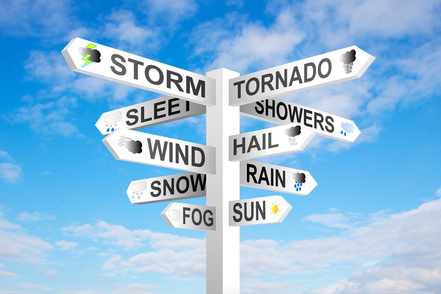

Legend has it that variations in the woolly bear caterpillar's number of black vs. red-brown segments correspond to the intensity of winter weather in the months just ahead. Now, that kind of "weather report" requires a good deal of faith to rely on. But the truth is that many homeowners often feel a little bit like they're staring at a woolly bear caterpillar when they hear their winter weather report--confused and uncertain of what to expect.
It's not necessarily difficult meteorological terms or complex weather charts that cause confusion--the weather forecaster will strive to put things in layman's terms as much as possible and will explain the net take-away from the weather map so that you don't have to know the meaning of every line, shape, or color.
The real difficulty arises in knowing how to apply the words of the weather report to real life. Here are 7 tips that can help homeowners better understand how to respond to the information in their winter weather forecast:
-
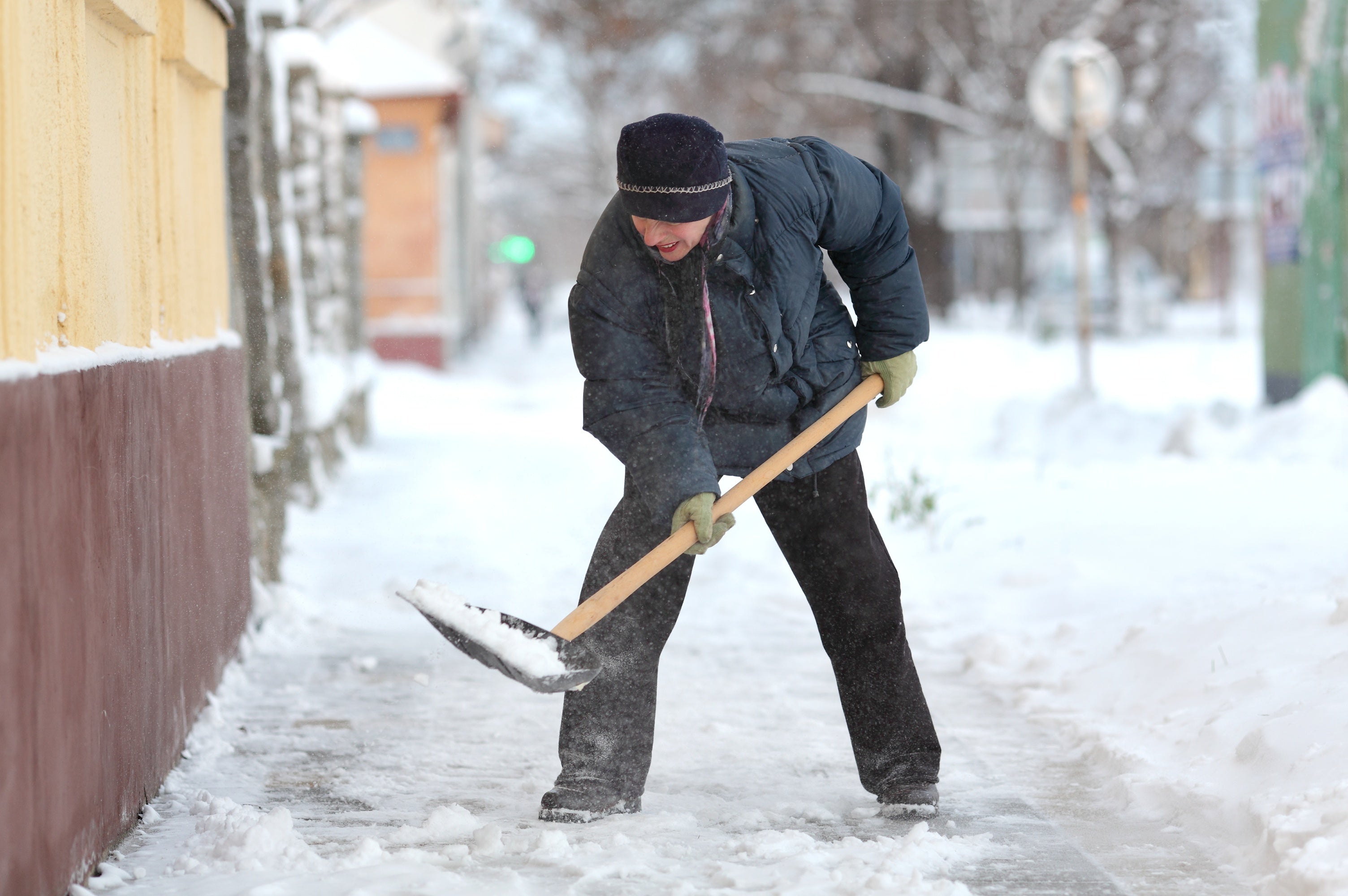
Forecasters purposefully expand winter storm warning zones to ensure everyone likely to get hit is alerted, but many will see less snow than predicted or even none at all. Therefore, have a plan for both scenarios when you find yourself in a warning zone. Also realize that the snow line on the weather map is not as precise a boundary as it appears to be- if you are at all close to its edge, you should prepare the same as if it applies to you.
-
Realize that days-ahead snowfall predictions are only an estimate- they could easily be off by several inches. Don't focus so much on the exact numbers as on the general situation. Also, remember to keep an eye on the forecasts day by day since you can expect the data to become more accurate as the event approaches.
-
"Isolated higher amounts" of snow/ice means there will be a core area within the weather zone that gets hit hardest, but it is very difficult to be sure of its exact location. If you live anywhere near the middle of the zone, you should especially be on your guard.
-
Don't fixate on the highest number in a range. If the forecast is, for example, 8 to 12 inches (20 - 30 cm) of snow, many will only remember the number 12. However, the real snowfall is more likely to be somewhere in the middle of the range.
-
Don't rely on social media or the local "chatter." Many times, an upcoming storm gets blown out of proportion on the Internet or among neighbors who seem to enjoy predicting the worst. Check everything against a report by a professional meteorologist.
-
Pay close attention to the day of week and time of day predicted for a big winter weather event. If it hits during rush hour or on the weekend when you have plans, the impact will be greater. Try to make back-up plans to avoid getting out in it or map out alternate, safer routes to take if you can't avoid driving in it.
-
If you hear that 2 inches (5 cm) of "precipitation" will fall, that can translate into 10 or more inches (25.4 cm) of snow. Therefore, don't take it lightly when you hear only a few inches of precipitation are expected if the forecaster isn't certain what form it will fall in.
The key is to use the weather report to identify what different scenarios are likely and to have a plan already in place to quickly adjust to each one. You cannot control the weather, but taking proper precautions can help prevent the weather from controlling you.